6 km from Carry-le-Rouet, 7 km from Marignane, 12 km from Sausset-les-Pins, 17 km from Martigues
GPS: Longitude: 5.203611 E - Latitude: 43.355556 N
Altitude: 149 m
Population: 4581
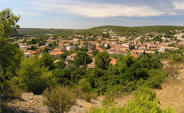
A village built in a basin, located between Marseille and Martigues, and separated from the coast by the Graffiane plateau. 80 % of its territory is covered in garrigue and pine trees. On the coast, there are numerous creeks and calanques, accessible by way of the narrow paths which run alongside the sea: the madrague de Gignac, La Redonne (and its harbour), Les Figuières, Le Petit Méjean, Le Grand Méjean...
To see, to visit : the parish church (1829), the calanques, the madrague de Gignac (a small harbour next to La Redonne), the underwater grottoes of Méjean. The animal park of La Vallée des Fauves.
Recommended activities : nautical sports, fishing, swimming, boat outings, walking circuits.
Provencal market: every Wednesday. Festivities: Art and crafts fair in July.
|